HanTing Hotel (Shanghai Yanghang Town Bao'an Highway Subway Station)
14.9 公里距离市中心的距离
3.5 公里距离 Fujin Road 地铁站
¥ 310 起
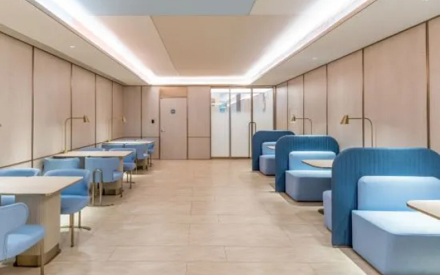
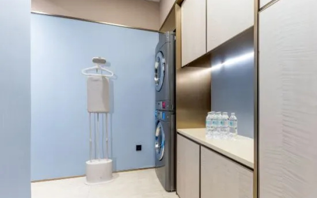


热门设施
- 酒吧/餐厅
- 空调
位置
- Fujin Road • 3.5 公里
- North Jiangyang Road • 4.8 公里
- Nanjing Road Shopping District • 14.7 公里
- Shanghai International Convention Centre • 14.7 公里
- Shanghai Natural Wild Insect Kingdom • 14.8 公里
空房
输入您的旅行日期,我们将为您显示当前价格
未选择日期
如果您尚未确定日期,请选择大概的日期以查看价格估计。


